Yesterday, Friday, June 3, 2011, I took my dad on a road trip east of Williston to visit New Town, the Four Bears Bridge over the Missouri River, and a bit of the Sanish oil field.
My dad feels that the Four Bears Bridge is one of the most beautiful bridges he has ever seen, and I have to agree. It is truly magnificent. Perhaps later a stand-alone posting on the Four Bears Bridge, but for now, a look at one of the wells we saw on our trip. This is why I remain so excited about the Bakken.
Just north of Sanish, or just north of the Four Bears Bridge, we passed a well that appeared to be relatively new. The pad was still huge and most likely the fracking equipment had just been trucked to the next job. There were ten tanks on the pad and it appeared to be a good well.
When you look at the photo, see if you can tell what excited me most about this well.
This is what got me most excited about this well: notice the permit number, 17935. That is a very, very old permit number. It turns out that permit was issued December 30, 2008. It was spud February 6, 2010, and wasn't completed and tested until April 24, 2010. This is the Curren 11-14H well and is a long horizontal.
#17935 - WHITING OIL AND GAS CORPORATION, CURREN 11-14H, NWNW 14-153N-93W, MOUNTRAIL CO., 500' FNL and 320' FWL, DEVELOPMENT, SANISH, 20331', 9-5/8 " - 2000', 2073' Ground, API #33-061-00969, (Approved: 12/29/2008).
And just how good was this well? The IP was an astounding
2,863 bbls of oil and 2,690 thousand cubic feet of natural gas (approximately another 500 bbls of equivalent oil) and by end of April, 2011, had produced a total of 112,616 bbls of oil. In April, 2011, it produced 6,104 bbls of oil over 30 days.
At $75/bbl, this well has paid for itself at the wellhead, --> $8.4 million.
The backlog in drilling in the Bakken is incredible. Also, take a look at the Sanish oil field and the Parshall oil on the NDIC GIS map server to see how densely worked the Sanish is compared to the Parshall. When I first started blogging about the Bakken, it was the huge EOG wells in the Parshall that caught my attention as well as the huge IPs that BEXP was reporting. It appears that Whiting has cracked the code on completing Bakken wells and/or has found some extremely good locations (probably both).
According to the file report for this well, the tank battery seen in the photograph will temporarily store commingled oil from three wells in section 14. All three wells are long horizontals, almost lying on a west-east line, beginning section 14 and ending in section 13:
- 17935, 2,863, Curren 11-14H, Sanish, t24/10; cum 164K 6/12; 25-stage frac;
- 19040, 1,695, Curren 12-14H, Sanish, t12/10; cum 100K 6/12;
- 18536, 1,441, Olson 11-14TFH, Sanish, t6/10; cum 129K 6/12;
For newbies, I consider 100,000 bbls of total oil produced as an important milestone. All Bakken wells should get to 100,000 bbls within three years (yes, some won't); great wells will get there within 18 months, and there are a few that will get there within six months. Obviously, this particular well is a very, very good well.
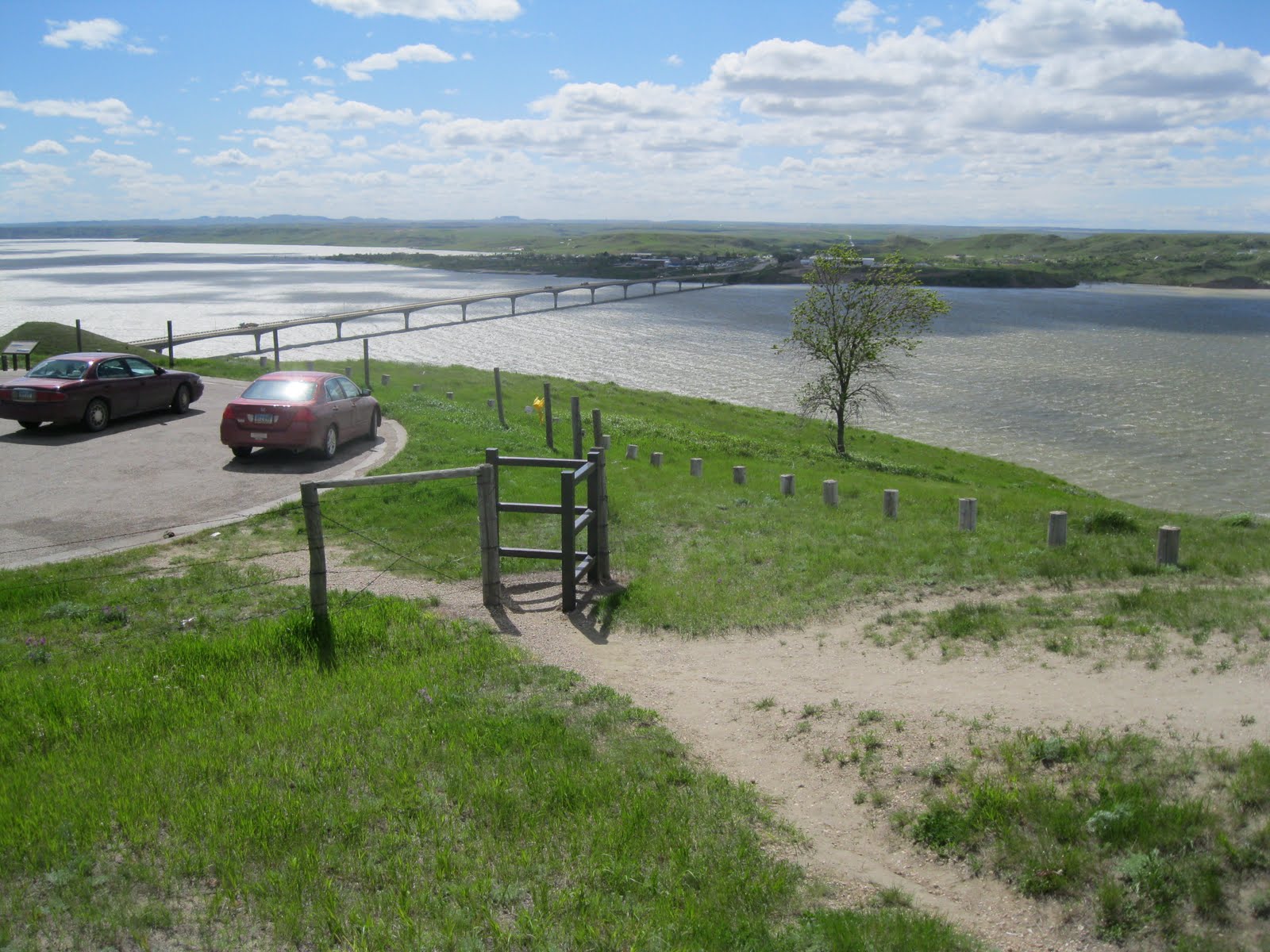
Something else you might note on the second photograph is how beautiful North Dakota landscape is this year. So much rain has resulted in the countryside looking a bit like northern England (Yorkshire) or perhaps even some parts of Ireland.
The roads were not nearly as bad as I had been led to believe. One must be very, very alert when driving on paved state and county roads in this area. Some potholes are huge and driving the speed limit without watching for road hazards is extremely dangerous. The state or county does a good job placing warning flags where the road is bad, and if you follow traffic at a reasonable distance you can be forewarned how bad the road might be by watching the traffic ahead of you a) take evasive action; or, b) go airborne after hitting a pothole.
One of the nice things about digital photographs, you can click on the photo, it will open up in a new window and you can zoom in for better detail. None of my photographs are copyrighted.